
This released satellite image, provided by Maxar Technologies and dated June 29, 2025, shows a view of the tunnel entrances of the Fordo Fuel Enrichment Plant (FFEP) complex, located about 30 kilometers north of Qom, in central Iran. (Credit: AFP/MAXAR.)
")


")


Just a few days after the American strikes on the Fordow nuclear facilities in Iran on June 22, satellite images captured by Maxar Technologies and reported in an article by the New York Times (NYT) observed movements at the site.
According to this article, new roads are reportedly being built, especially leading to the area where the U.S. attack was carried out, at the top of the mountain. The satellite images also show that repairs began quickly: by June 27, Iran had already filled a large crater at the site entrance left by the Israeli strikes a few days earlier.
The Iranians want to assess the damage themselves
A crane and an excavator appear to be operating near one of the impact sites. "Numerous other vehicles are also visible at various locations around the site," adds the New York newspaper.
According to Joseph S. Bermudez, a senior imagery analyst at the Center for Strategic and International Studies, "it seems that the Iranians are assessing the hole, seeing how deep it went. What the images show us is that they are beginning to investigate what happened and the level of damage sustained by the facility."
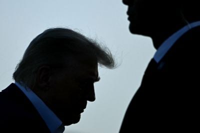
Since the American offensive, in which the air force used GBU-57 bombs — the only ones in the world capable of deeply reaching Iranian sites —Donald Trump claims that the Iranian nuclear facilities were "totally destroyed", statements denied by both Tehran and American intelligence.
For the moment, the experts interviewed by the NYT believe that these movements and the construction of new roads mostly corresponded to the Iranians' desire to assess the damage themselves.
 Who are the Iraqi armed militants hit by US-Saudi strikes ?
 'The real solution begins with disarmament,' Geagea says