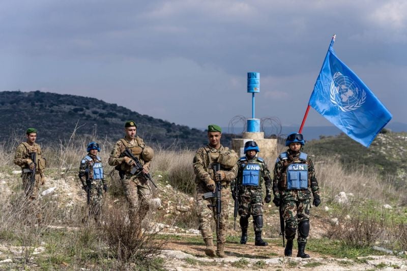
UNIFIL peacekeepers marching with Lebanese Army members along the southern border. (Photo sent to L'Orient Today by UNIFIL)
BEIRUT — Tensions have risen again in recent days along the border between Lebanon and Israel-occupied territoy. This past summer alone, Hezbollah set up tents near the disputed village of Ghajar, Israeli forces launched rockets toward Lebanon after mortar fire from the Lebanese side, and a handful of Lebanese MPs and journalists have been targeted by Israeli teargas along the border.
To try to appease the tensions, talks of potential negotiations on an official demarcation of the unofficial border started appearing in the media, from both sides of the fence.
According to Israeli media, US emissary Hochstein could soon mediate this delineation, while in Lebanon, caretaker Prime Minister Najib Mikati said in an interview that his cabinet is ready to negotiate.
Mikati’s spokesperson told L’Orient Today, however, that they are unable to comment on the issue and that “the file is now in the hands of the [caretaker] Foreign Minister.”
The Foreign Ministry did not respond to L’Orient Today’s requests for comments. For his part, Hezbollah leader Hassan Nasrallah categorically rejected any potential negotiations.
So, what's the actual situation of the demarcation lines on Lebanon's southern border? Where does the UN's Blue Line — today used to demarcate the two sides — even come from? And which points are disputed?
We explain it all below:
How was the border initially drawn?
To understand, we need to go back one century.
The Paulet–Newcombe Agreement, or Paulet-Newcombe Line, was a 1923 agreement between the British and French governments regarding the position and nature of the boundary between the Mandates of Palestine and Iraq (which would go to Great Britain), and the Mandate of Syria and Lebanon (which would go to France).
The 1923 line defined the border of Mandatory Palestine from the Mediterranean up to al-Hamma, Tiberias. The 1920 line defined, in less detail, the border of the French Mandate for Syria and Lebanon from the Mediterranean up to Jeziret-ibn-Omar in what is today northern Iraq.
What's the Blue Line?
UNIFIL spokeswoman Kandice Ardiel told L’Orient Today that “the Blue Line is based on a number of historical boundary maps, some going back 100 years. The main sources are maps from 1923 and 1949. The Blue Line is a line of withdrawal, without prejudice to any future border agreement. There is no internationally-recognized border, and there can be none until both parties agree to delineate it.”
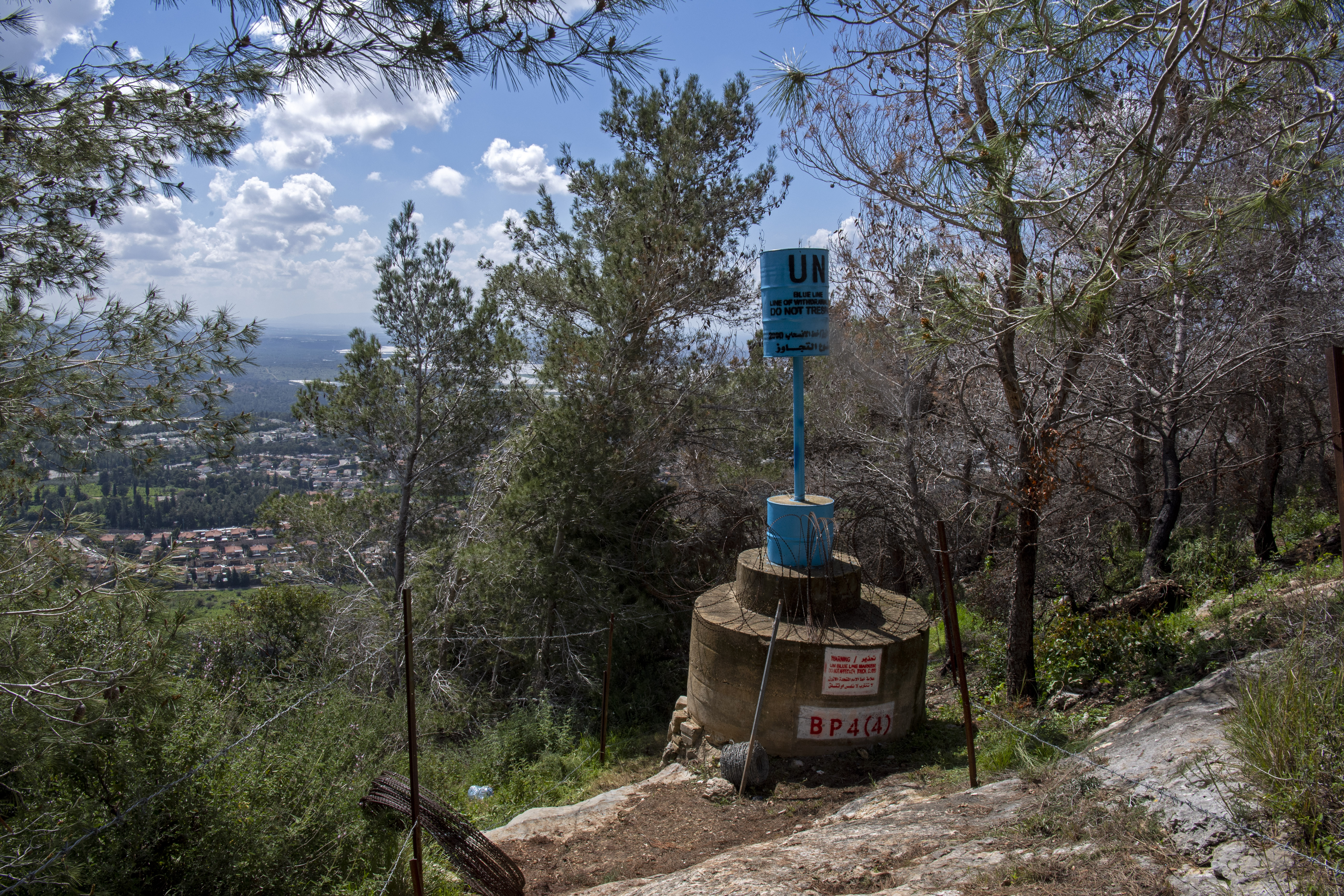
 Blue barrel that UNIFIL placed along the southern border. (Photo sent to L'Orient Today by UNIFIL)
The bottom line, according to her: the Blue Line "is not a border. It is merely a 'line of withdrawal.'"
"Only about half of the Blue Line is marked, and the blue barrels installed to mark it are only visual indicators that do not physically prevent crossings,” she explained.
Roughly half the 120-km length of the line is marked with a total of 272 blue barrels, each placed "only after complex scrutiny and agreement" from Lebanon and Israel.
"If there is a disagreement, a barrel is not placed, and the point remains unmarked. Each blue barrel represents a carefully negotiated consensus, which has helped build the current stability. The barrels provide clarity and help prevent misunderstandings,” Ardiel said.
A retired Lebanese Army general, who had been involved in demarcating the line, confirmed the process to L'Orient Today. He spoke on condition of anonymity as he was not authorized to give interviews to the press.
The process has its critics.
''Borders are geographical, meaning natural partitions are what should mark borders between countries; rivers, mountains, valleys on a clear map and signed by two countries, which is not exactly the case between Lebanon and Israel,” Issam Khalifeh, a Lebanese academic, researcher and trade unionist noted.
What about the 'technical fence'?
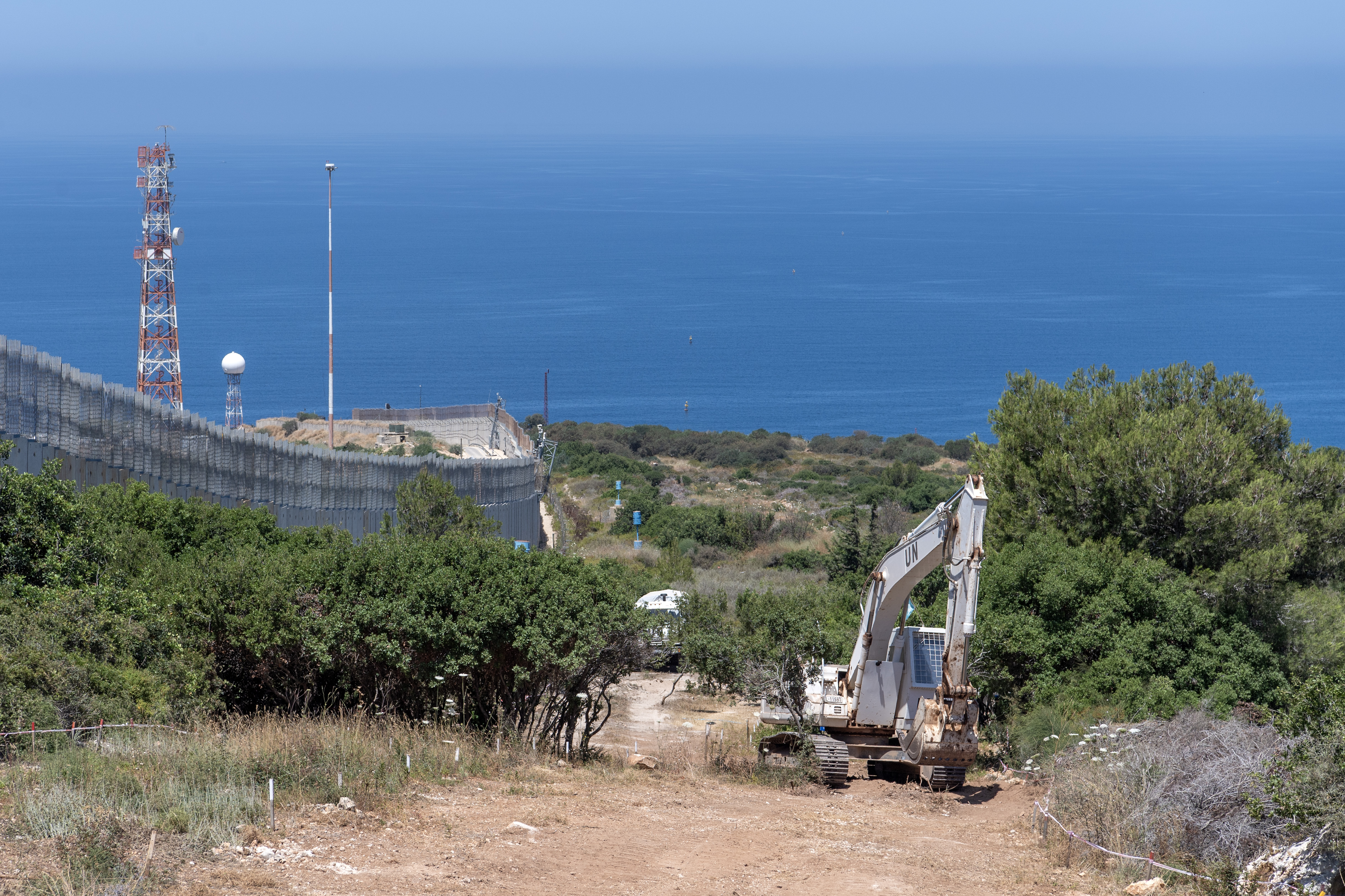
The "technical fence," a term that has regularly popped up in recent media reports on the border tensions, is a piece of security infrastructure built by Israeli forces.
It is located on the Israeli side of the Blue Line, and depending on the terrain, may be anywhere from a meter to a few dozen meters away from the Blue Line. In some places, Israel is continuing the construction of more permanent concrete T-walls behind the technical fence, UNIFIL's Ardiel noted.
 The T-wall and technical fence alongside UNIFIL blue barrels. (Photo sent to L'Orient Today by UNIFIL)
What are the 13 disputed points along the Blue Line?
"The disputed points are places where one of the parties has expressed reservations, or disagreement, with the UN’s determination of the trajectory of the line," Ardiel said. "While the line was set by the UN in 2000, these areas are not marked because there is no agreement between the parties. Because the line at these locations is disputed, any activities around these areas are extremely sensitive."
The 13 points are located in several disputed areas, notably in Ghajar, Kfar Shuba, and the Shebaa farms, three occupied villages.
Some of the points are "more disputed than others," Khalifeh said. "We can’t know exactly why they are more disputed but Israel has more interest in them and crossed over and took them."
The retired Army general said, however, that those points are currently “just used, simply, as a show of power. Those 13 points don’t necessarily differ from any other point along the border.”
“The United Nations worked on internationally recognized maps from 1949; in my opinion only B1 was important and the rest are not," he went on. The B1 point is the closest to the sea, located in Ras Naqoura. Lebanon claims B1 as the starting point of its southern land border. Other than that point, he said, "it’s fighting over a couple of centimeters."
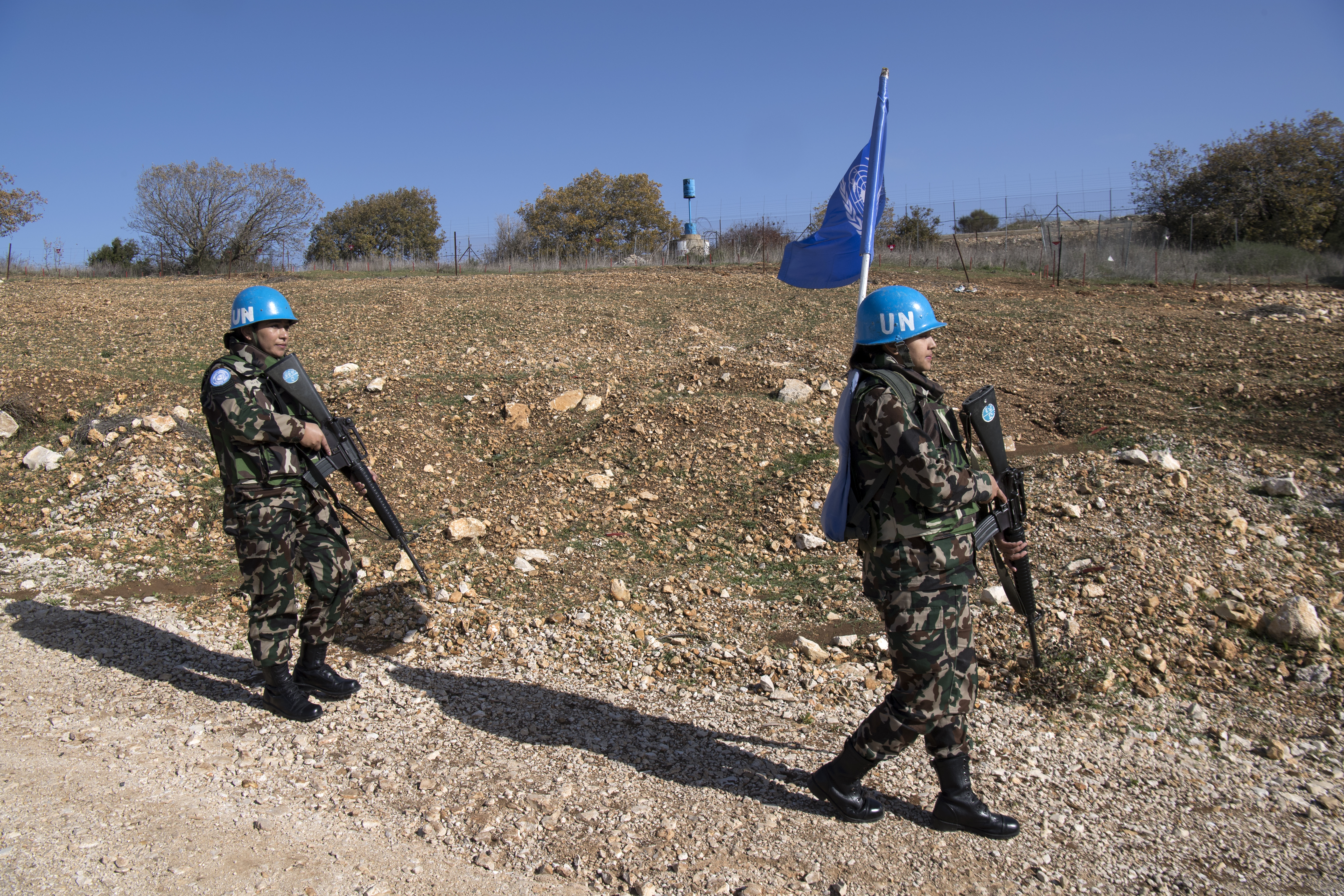
 UNIFIL peacekeepers in southern Lebanon. (Photo sent to L'Orient Today by UNIFIL)