
Ancient Roman columns in Sour. Nov. 26, 2016. (Credit: João Sousa/L'Orient Today/File photo)
")


")


According to ancient texts, the Phoenician city of Sour, located in southern Lebanon, once boasted two ports: one facing north, dubbed the “Sidonian” port, and another facing south, called the “Egyptian” port.
While the ancient northern port, now the modern port of Sour, is easily recognizable, filled with sediments dating back to the Roman era, the location of the ancient southern port remained elusive. Various theories about its location have been proposed.
Since 2018, a team of French scientists affiliated with the Centre National de la Recherche Scientifique (CNRS), the University of Lyon 2, and the Maison de l’Orient et de la Méditerranée, in collaboration with the General Directorate of Antiquities has expanded its survey efforts to locate Phoenician port structures in the southern port of Sour.
Among these researchers is Jean-Philippe Goiran, a CNRS researcher for 20 years, specializing in coastal geoarchaeology and the evolution of coastal landscapes. One of Gorian’s notable areas of expertise involves uncovering lost port cities of the Mediterranean. He spoke with L’Orient-Le Jour about the recent breakthrough discovery of the site of the ancient southern port.
A 180-meter quay
“Initially, our exploration focused on Sour’s coastline to assess sea-level fluctuations,” Goiran explained. “The key question we aimed to address was: What was the sea level like during Phoenician times?”
Working alongside geologist and colleague Gilles Brocard, Goiran and his team surveyed the shoreline and utilized freely available satellite imagery.
“Our efforts led us to the discovery of an extensive port structure, stretching 180 meters in length and composed of Phoenician-sized blocks,” he said. “This structure lies submerged at a depth of three meters, directly across from the southern port, known as the ‘Egyptian port.’“
Drawing from their collective expertise, the team surmised that this structure served as a protective quay, shielding the harbor basin from the fury of storms.
“Our French Lebanese team was fortunate,” Goiran said. It appears that a recent severe storm had eroded the underwater sandbanks that previously concealed the structure, eluding the notice of earlier archaeologists.
“Remarkably, you can clearly spot this structure on Google Earth when the sea surface is calm,” he said.
Since the Phoenician era, findings reveal a sea level rise of approximately two meters.
“Put simply, the sea level was two meters lower in ancient times compared to today,” said Goiran.
“This rise can be attributed to global warming and land subsidence,” he added. “Over the centuries, sand deposition occurred along Alexander’s Causeway, gradually infilling the last Phoenician harbor basins.”
In essence, this suggests that the archaeological remnants of the port lie buried beneath the earth’s surface.
Phoenician sediments destroyed by the Romans
The excavation focused on a segment of the Roman colonnaded road. Sedimentary core samples were extracted from a depth of ten meters and a diameter of 10 centimeters.
Analysis of these samples unveiled a clay sequence characteristic of a port environment. “Radiocarbon dating placed these sediments squarely within the Phoenician period,” said Goiran.
This discovery substantiates the theory that a Phoenician harbor basin lies preserved beneath the layers of Roman archaeological remnants.
Why did the choice fall on the area around the Roman road and baths?
The answer can be found in history. Founded in 2750 BC and built almost entirely on an island that was reputedly impregnable, in 332 BC, Sour succumbed to the invading forces of Alexander the Great, who went on to link the island city to the mainland via a 750-meter-long causeway.
The construction interrupted the coastal transit of sand, which accumulated on either side of the causeway, gradually creating a sandy isthmus (tombolo) linking the island to the mainland.
A Greek town, followed by a Roman town was built successively on what is now a promontory.
“The formation of the tombolo has significantly impacted the development of Sour and its ports,” Goiran said. “Additionally, the construction of new coastal structures has altered coastal dynamics, affecting older ones. This has been an ongoing issue since ancient times.”
He further explained that the large Roman merchant ships, with a loading capacity of 100 to 150 tonnes and some with a draught of 4.5 meters, were unable to access the ports of Sour due to accumulated sediment clogging the basins. Consequently, Roman engineers undertook dredging operations to clear continental and marine deposits, inadvertently destroying the Phoenician sedimentary archives in the process.
Buried beneath the Alexander Causeway
Over time, the port basins gradually refilled with gravel, sand, or silt. Consequently, when scientists from the 20th and 21st centuries took core samples, they encountered only layers of Roman sediment.
“As geographers and geomorphologists, we considered the possibility of finding an area where the Phoenician basins remained untouched,” explained Goiran. “We identified such a spot: beneath the causeway constructed by Alexander, where sand had accumulated before the Romans arrived. Remarkably, the Romans built their structures atop this sand without clearing it out.”
“We obtained authorization from the Directorate General of Antiquities (DGA) to extract core samples from a specific area within the colonnade and Roman baths, allowing us to delve into the subsoil,” he added.
Now, it’s up to archaeologists to decide whether to proceed with excavations to reveal the remnants of this partly submerged, partly buried Phoenician port.
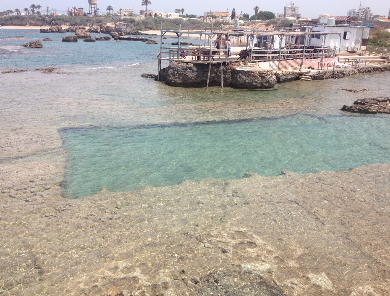 This ancient fish tank reveals variations in sea level. (Credit: Jean-Philippe Goiran)
Scientists estimate that the harbor basin could cover an area of around one hectare (100m x 100m), to the south of the Roman bath complex.
It appears that the structures of the southern Phoenician port of Sour were buried under sand during the Hellenistic and Roman periods, enabling the Romans to use the southeastern cape of the island of Sour to build monumental Roman baths.
The research team also suggested that the ancient southern port must have been abandoned in the face of the rapid advance of the sandy tombolo in the centuries following the construction of Alexander’s Causeway, and that the area was subsequently converted.
Goiran attributed the success of the coring and prospecting campaign to a multi-disciplinary team that brought together archaeologists, historians, geographers, geologists, biologists and others, as well as the “very strong links” between French and Lebanese scientists, in particular the General Directorate of Antiquities and its head in southern Lebanon, archaeologist Ali Badaoui.
“He understood that if we were to make progress, it was important to work as a team, with everyone bringing their own expertise and specificity,” Gorian said. “It was a great collaboration.”
The team’s work was published on Jan. 15 in the Quaternary Science Review journal.
This article was originally published in French in L'Orient-Le Jour. Translation by Sahar Ghoussoub.